Jun 24, 2010
a first look at various mapping projects
(clique aqui para ver a versão portuguese)
The next couple of posts will look at several existing mapping projects in São Paulo, Rio de Janeiro and Nairobi. These projects range from community mapping of Kibera – a slum in Nairobi – to mapping several favelas in Rio de Janeiro in a kind of citizens journalism approach up to cultural mappings of parts of Zona Sul and Zona Leste of São Paulo.
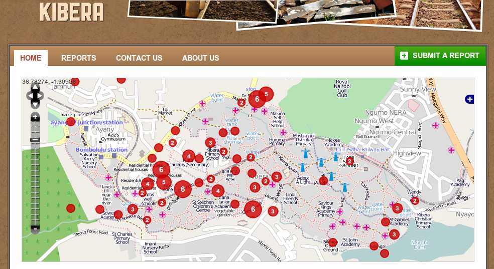
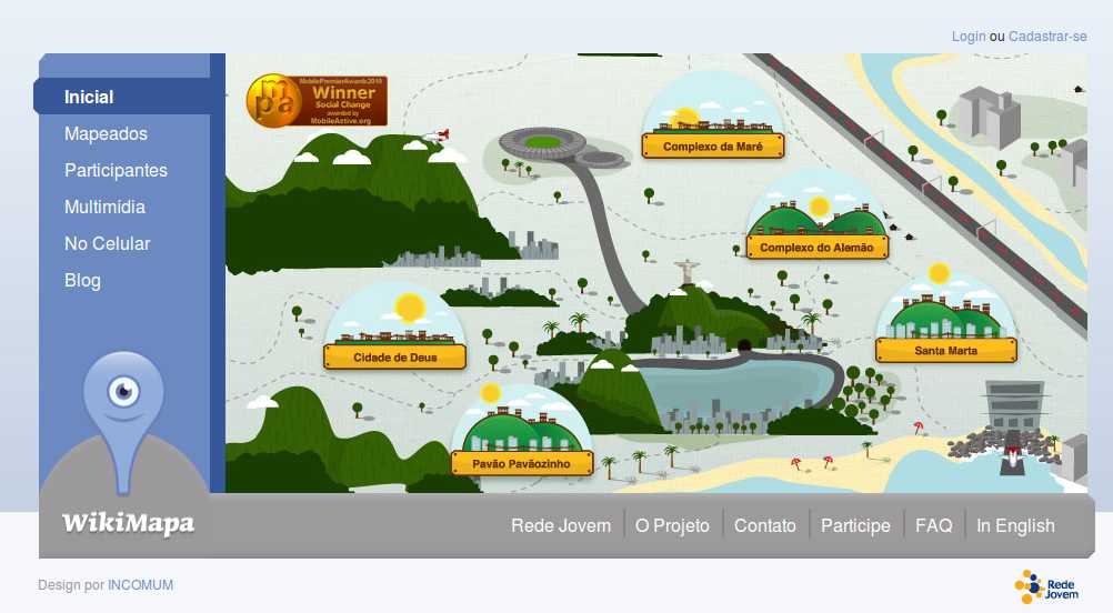
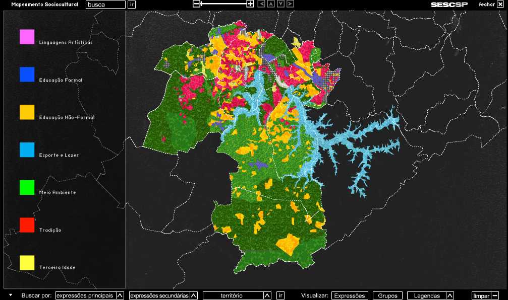
The applied mapping methodologies and objectives differ among the projects. The mapping of Kibera is done by adding content about the local environment to openstreetmap and by using SMS reporting and monitoring to inform local citizens about events, news and reports they might be interested in. The selected citizen journalists in Rio de Janeiro use dedicated mobile phones equipped with camera and gps units and a mobile software to directly put data on the online maps of the different favelas. The cultural mapping in São Paulo is more institutionalized and seeks to map and research the cultural activities in the different remote places and the periphery of the city.
MapKibera – Kibera slum in Nairobi/Kenia
Wikimapa – Complexo de Maré , Complexo do Alemão, Santa Marta, Cidade de Deus, Pavão Pavãozinho in Rio de Janeiro/Brasil
Santo Amaro em Rede – Santo Amaro/Zona Sul/São Paulo
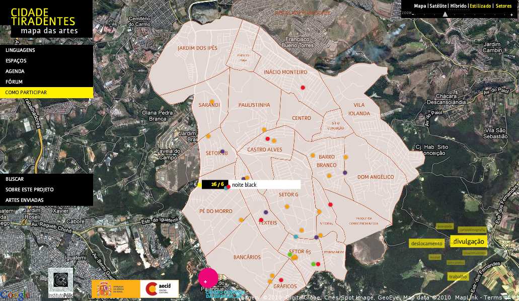
Mapa das Artes Cidade Tiradentes – Cidade Tiradentes/Zona Leste/São Paulo